


The trail to the mountain pass is marked and leads over gently sloping granite slabs in an archaic landscape while at the same time coming very close to the granite giants. 1 hour, T3
The further leading path which connects Capanna Sasc Furä and Capanna di Sciora has been closed since the landslide at Pizzo Cengalo (see info signs).


Passo Trubinasca – Val Codera / Bocchetta della Tegiola – Bondo / Rifugio Gianetti
Border crossing alpine hike in wild and exposed terrain. (times from Capanna Sasc Furä).
Over the blue marked and using chains equipped over Trubinasca Pass, 2700m (T5+, 3hours):
- to the Pedroni Bivouac, CAI, 2577m, Selfcatering hut, 9 beds, (T5, 4-5hours)
- to Rifugio Brasca CAI, 1304m Val Codera (T3, 6-7hours)
- over Bocchetta della Tegiola, 2490m to Bondo, 823m (T3, 8-9hours)
- over Porcelizzo pass, 2961m to Rifugio Gianetti, CAI, 2534m, (T5 6-7hours). Further along the Sentiero Roma
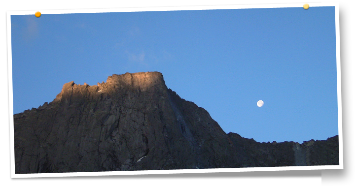
Pizzo Trubinasca (Altare)
Alpine Summit 2918 m (T5+, T4)
Grand view of the North side of Pizzo Badile. From the Capanna Sasc Furä, 1904m over the Trubinasca Pass 2701m (3hours). Then south in easy terrain over granite slabs with cairns to mark the way to the flat sumit alter
of Piz Trubinasca (2hours).
Caution! The pass crossings can be snow filled gullies (esp. early season): Iceaxe!